

Post-medieval township discovered in Scottish forest
In a recent environmental survey conducted before harvesting in Glen Brittle Forest on the Isle of Skye, remains of a post-medieval township were unearthed.
This discovery, likely from the 17th and 18th centuries, includes various houses, byres, barns, and corn-drying kilns. Interestingly enough, these structures were found within a mature conifer plantation of predominantly Sitka spruce trees planted back in 1977. The presence of windblown trees partially concealed many sites within this historical find.
In a press statement, Forestry and Land Scotland recently disclosed that they had engaged AOC Archaeology for an extensive survey.
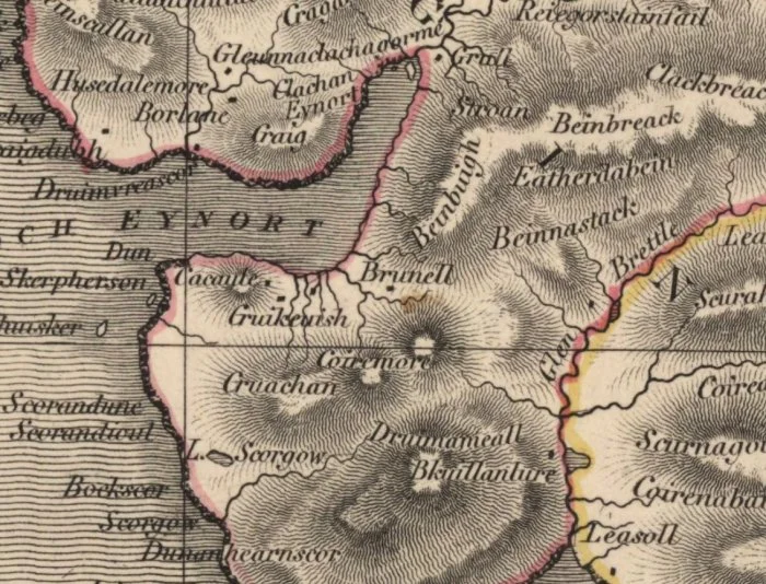
Before their fieldwork, the archaeologists delved into historical records. They discovered that the township was known as Brunell on an early 19th-century map (shown above), which was surveyed by John Thomson in 1832.
They then referred to the Old and New Statistical Accounts for the Parish of Bracadale on Skye. While there was not any specific data about the township itself, they did come across general accounts of life in the parish:
“the parish produces black cattle, sheep and horses. Black cattle is the main staple… from the returns of which the people pay their rents and supply themselves with necessities.
There are small quantities of sheep on each farm, but there is no farm laid out entirely to sheep pasture” (Bracadale, County of Inverness, OSA, Vol. 22, 1792).
Almost 50 years later, the minister reported that “at the time of the last [Old] Statistical Account, the population was 2250 souls. By the last census it was 1769, and since that period there has been a farther decrease.
This decrease is solely to be ascribed to the system of farming which has for some time been adopted: throwing a number of farms into one large tack for sheep-grazing, and dispossessing and setting adrift the small tenants” (Bracadale, County of Inverness, NSA, Vol. 14, 1840).
The residents of Brunell were destined for a grim future. The town was already abandoned by the time the first Ordnance Survey took place. The 1881 map only shows two roofless structures and a single field, painting a strong picture of desolation.
The archaeological survey documented twenty-eight structures, which together with fields and livestock enclosures, made up a small clachan (or township). This settlement was strategically located on terraces on the northern side of the Allt Dabhoch burn.
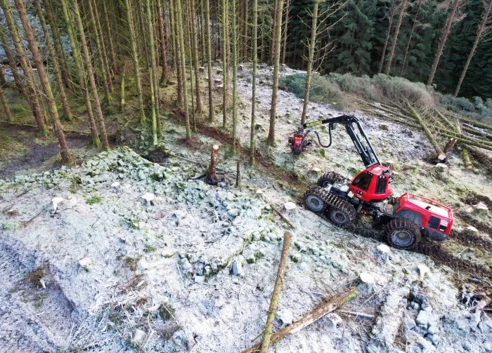
On behalf of Tilhill, Highland Timber Harvesting utilized the archaeological survey to plan and execute a clear fell operation meticulously. The process began with marking out the individual buildings on site.
Then, leveraging their expertise and experience, the machine operators strategically planned the harvesting operation. They used short tracks to navigate around the township and fell trees into open spaces while ensuring no harm came to any of the buildings.
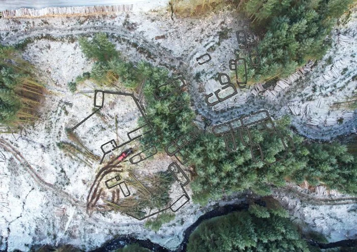
This bird’s-eye view of the harvest activities in and around the town has been marked to pinpoint the buildings’ locations.
You can now easily spot some of these structures in areas where trees have been cleared, while others are still nestled among the trees.
Related posts:
 Europe Was Not Covered By Dense Forest Before The Arrival Of Modern Humans
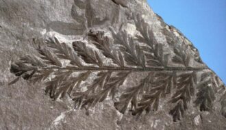 280-Million-Year-Old Fossil Forest Discovered in Antarctica
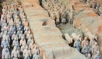 ‘Exceptionally Rare’ Sheep Chariot Found Near Tomb of China’s First Emperor
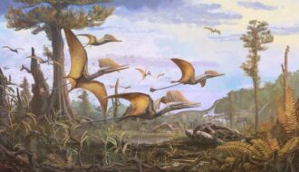 New Species Of Winged Reptile Found On Isle of Skye – Its Diversity Was Greater Than Previously Assumed
Ancient Archaeology